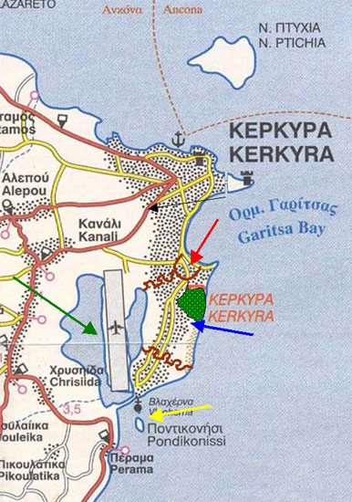
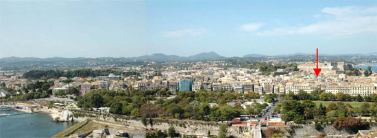
Brown lines denote the boundaries of the walls of
the ancient city which extended on the peninsula upon which lies
today the city of Corfu. On the northern part of the wall, the red arrow denotes the area
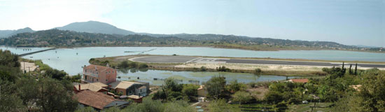
where the port of Alcinous was. The green arrow, close to the lagoon,
where the airport is today, denotes the location of the second
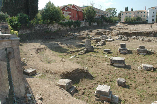
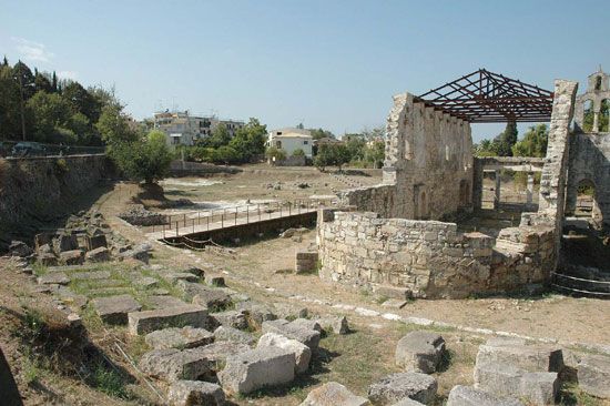
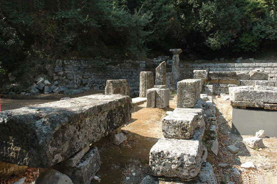
port of ancient Corfu, Elaeikon. At the southern end of the port was the city agora, ruins of which
have been discovered today. The area colored green denotes the location of Mon Repo, where
at the archaeological site one can witness parts of ancient temples.
There is also a unique collection of archaeological finds housed
at the Museum thereto. The blue arrow denotes the highest spot of the peninsula upon
which the city acropolis was built. The yellow arrow denotes Pontikonisi, which, as legend has it,
attests to the fierce punishment of Poseidon who turned into stone
the ship aboard which the Phaeacians who had sailed Ulysses home
were coming back to their homeland.
|
The ancient Elaeikon port, is today the air corridor
of the city’s airport. |